
The Barrier-Free Map has become open data for the entire country

02.01.2026
News
The Barrier-Free Map data has been officially published on the open data portal data.gov.ua. This is an important step from declarations to a real tool for change.
The dataset contains over 70,000 objects throughout Ukraine: hospitals, shelters, pharmacies, bus stops, cafes, shops, parks, and public spaces. The information is available in open data format — without restrictions and with the possibility of free use.
What does this change in practice?
People with disabilities and low-mobility groups can check the accessibility of a location in advance and plan their route without surprises.
Communities receive a basis for analysing and planning inclusive infrastructure.
Civil society organisations and activists receive a tool for monitoring the actual state of accessibility.
Businesses and developers get open data for creating navigation services, maps, and applications.
The set also includes barrier-free routes in 15 pilot communities, which are being created as part of the Barrier-Free Movement project. This data will be updated regularly.
Open data is not statistics for the sake of reports.
It is an opportunity to see the real picture, make informed decisions and gradually change the environment so that it is accessible to everyone.
You can view and download the data at data.gov.ua.
News and events
All publicationsNews
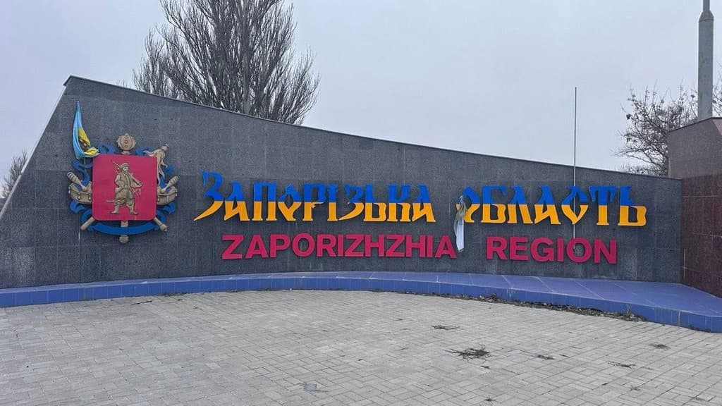
Support that spans 800 kilometres and the reality of the front line
800 kilometres of road. Dozens of addresses. More than fifty people for whom help today is not an abstract word, but a condition for daily survival. The LAOPD team and volunteers carried out targeted delivery of technical rehabilitation equipment to frontline communities in the Zaporizhzhia region. Wheelchairs, commode chairs, assistive devices — everything that is necessary to live with dignity, move around and take care of oneself. The eastern regions are currently living in extremely difficult conditions. War is nearby. Winter. Power and communication outages. Constant uncertainty. The psychological state of many people is on the verge of collapse, and this was evident in every conversation, in every glance. This trip was also difficult for our team. Physically — because of the long journey and difficult conditions. The delivery did not happen on the first attempt: the car broke down, and we had to act with delays. Emotionally — due to the pain, fatigue and tension that people have accumulated over years of war. But it is at moments like these that you understand especially clearly why this work is necessary. Because support must reach even those places where it is difficult, dangerous and painful. Assistance provided as part of the project ‘Protection, health care and inclusion of vulnerable populations in Dnipropetrovsk, Donetsk and Zaporizhzhia regions’, which is implemented with the support of the Humanitarian Fund for Ukraine (UHF) and implemented by the LAOPD in partnership with Volontariato Internazionale per lo Sviluppo (VIS). We would like to thank everyone who participated. Even in the most difficult circumstances, dignity, care and human support must find their way to people.
13.01.2026
Read more
News
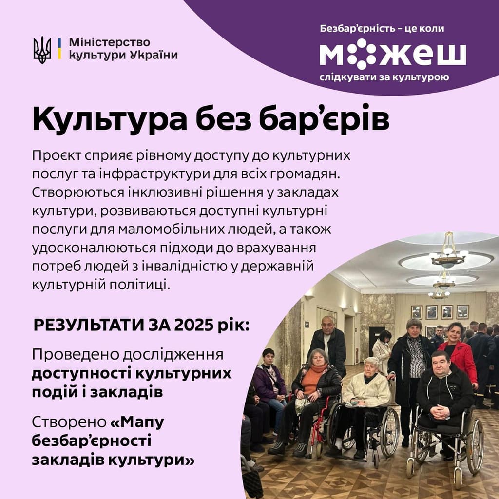
Culture without barriers: when art is open to everyone
Culture without barriers is not about individual solutions ‘for someone.’ It is about the right of every person to be part of the cultural life of the country — without explanations, permissions, or obstacles. "Culture without barriers" is a flagship project of the Ministry of Culture of Ukraine that is changing the very approach to cultural services and spaces. It is not only about physical accessibility, but also about systemic standards of equality, respect, and consideration for people's different needs. This means that museums, theatres, libraries and cultural heritage sites must be accessible not just formally, but in reality — in terms of space, services and interaction. What has already been done as of December 2025: in collaboration with LUN, a ‘Barrier-Free Map of Cultural Institutions’ has been created, which already includes more than 5,000 sites throughout Ukraine; Bureaucratic procedures for installing ramps and lifts at historical and cultural locations have been simplified so that accessibility is not ‘agreed upon’ for years, but actually happens. A large-scale study involving over 5,600 citizens and artists was conducted, revealing the real barriers and expectations of people. Methodological recommendations on the accessibility of cultural services were approved, and the development of a National Plan for the Accessibility of Monuments was initiated. For LAOPD, these steps are fundamental. Access to culture is not a privilege or a bonus. It is a basic right that shapes a sense of belonging, dignity and equality for people with disabilities, people with reduced mobility, veterans, and older people. The project is being implemented as part of the social change campaign ‘Barrier-free is when you can’ and the Action Plan for the implementation of the National Barrier-Free Strategy, created as part of the initiative of the First Lady of Ukraine ‘Without Barriers’. Barrier-free culture is when you can come, see, hear, feel. And be heard. Barrier-free culture is when you can come, see, hear, feel. And be heard.
12.01.2026
Read more
Articles
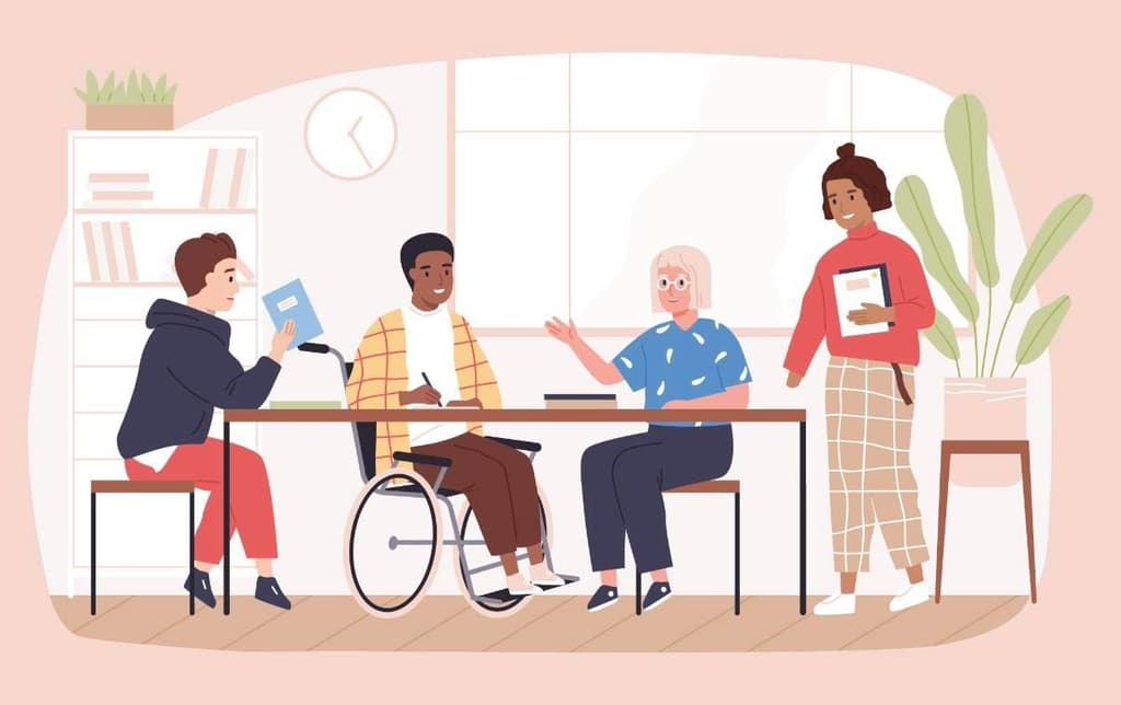
How big business is making accessibility a real standard
In today's world, accessibility is no longer a ‘social bonus’ or marketing ploy. For responsible businesses, it is a basic standard — in products, services, workspaces, and communications. And the key here is not slogans, but systemic solutions. Microsoft The company operates on the principle of inclusive design, where accessibility is built in from the outset: Windows and Office have built-in screen readers, voice control, and flexible contrast settings; products are tested with people with disabilities, not ‘for them.’ Google Accessibility is integrated into everyday digital services: automatic subtitles and live captioning in Google Meet; advanced accessibility settings in Android; services for people with visual, hearing, and cognitive impairments. IKEA The company approaches inclusion through the design of spaces and objects: furniture that takes into account different physical abilities; accessible showrooms with wide aisles and clear navigation; separate product lines for people with motor impairments. Starbucks Barrier-free access is part of the customer experience and personnel policy: adapted coffee shops with accessible entrances and restrooms; training staff in ethical and correct interaction; employment of people with disabilities, including in specialised establishments. Unilever The company works with inclusion at the level of culture and communication: advertising campaigns without stereotypes; accessible product labelling; internal equality and diversity policies. Why it matters Barrier-free business: expands the customer base; increases trust in the brand; makes companies more resilient and competitive; fosters a culture of respect and equal opportunities. For Ukraine, these examples are not ‘ideal experiences from abroad’ but clear guidelines. Business can and should be a partner in building a barrier-free society. Barrier-free access is not an optional extra. It is the new norm in modern business.
10.01.2026
Read more